 DreamLand Properties, LLC
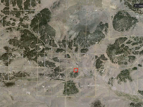
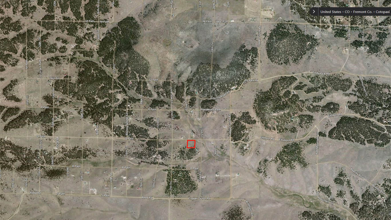
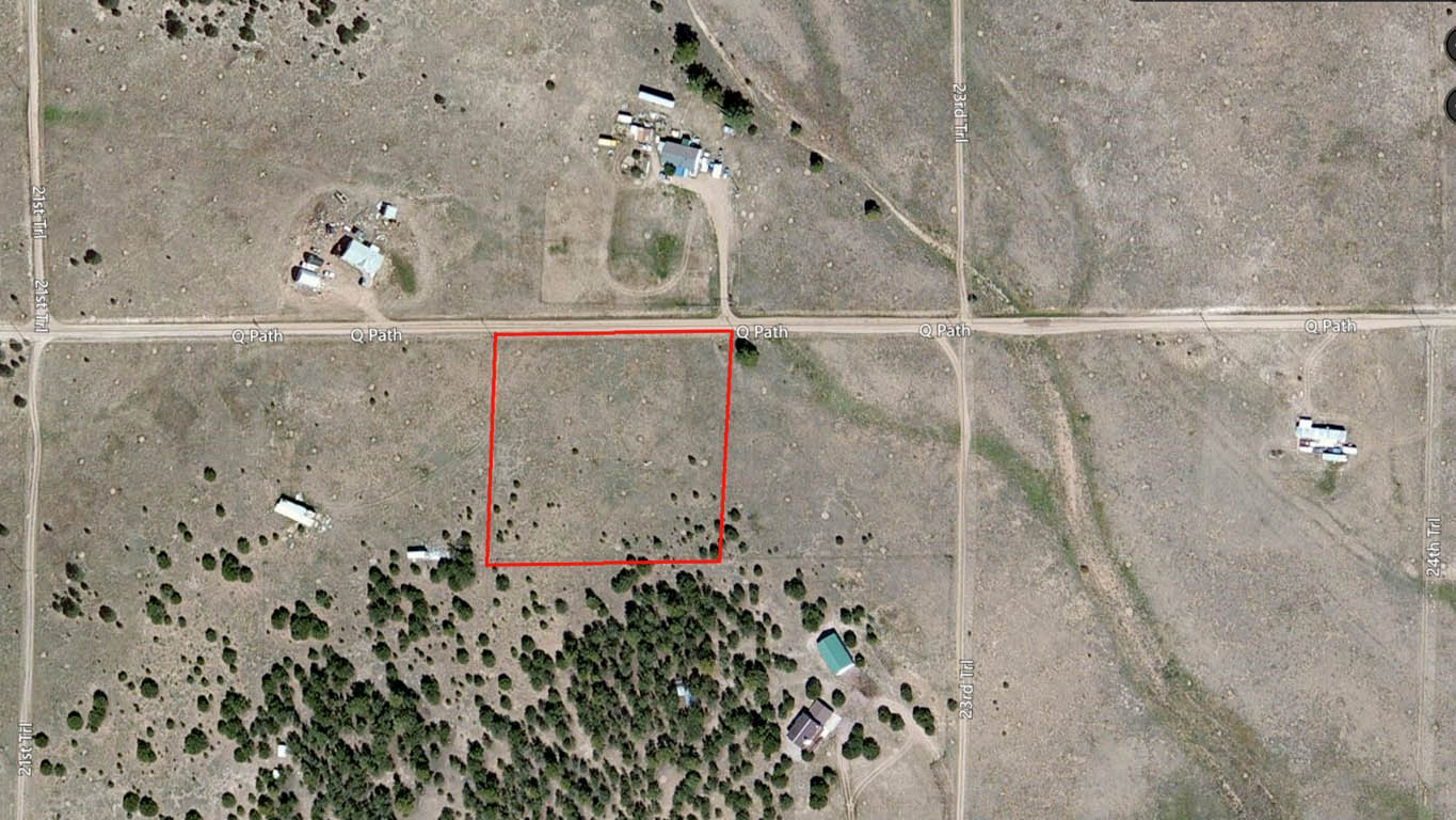
TBD Q Path, Cotopaxi, Colorado.
Legal Description: Florida-Colorado Acres Tr-29 the NW quarter of the NE quarter of the NW quarter of the NW quarter of Section 25, Township 20 South, Range 73 West, containing 2.5 acres. (FLORIDA-COLO ACRES NW4NE4NW4NW4 SEC 25-20-73).
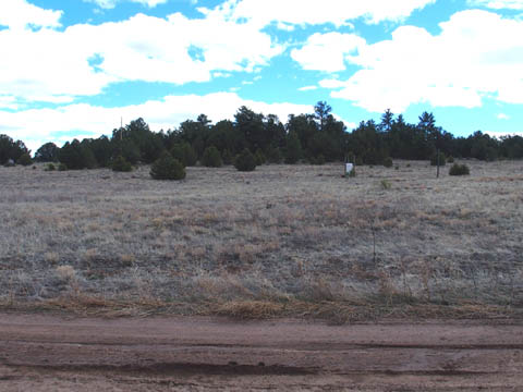
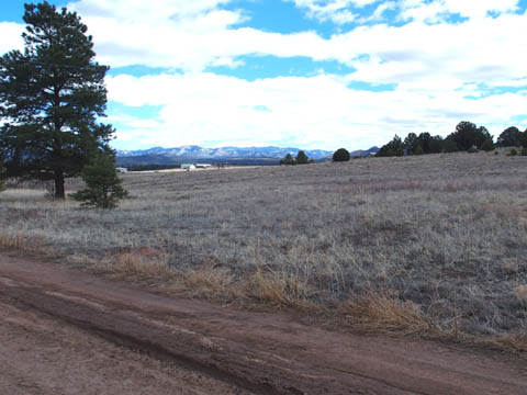
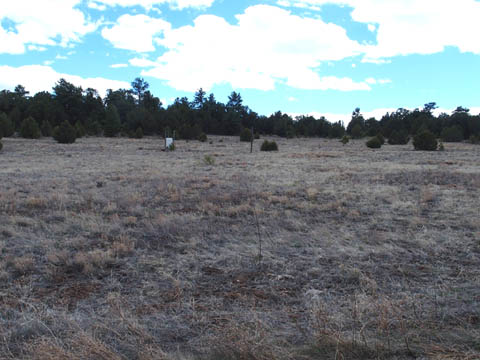
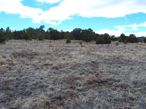
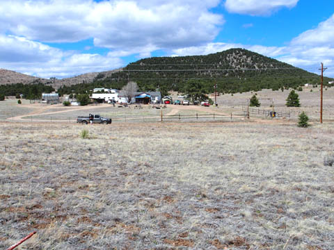
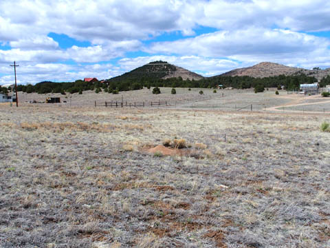
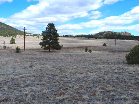
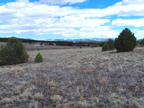
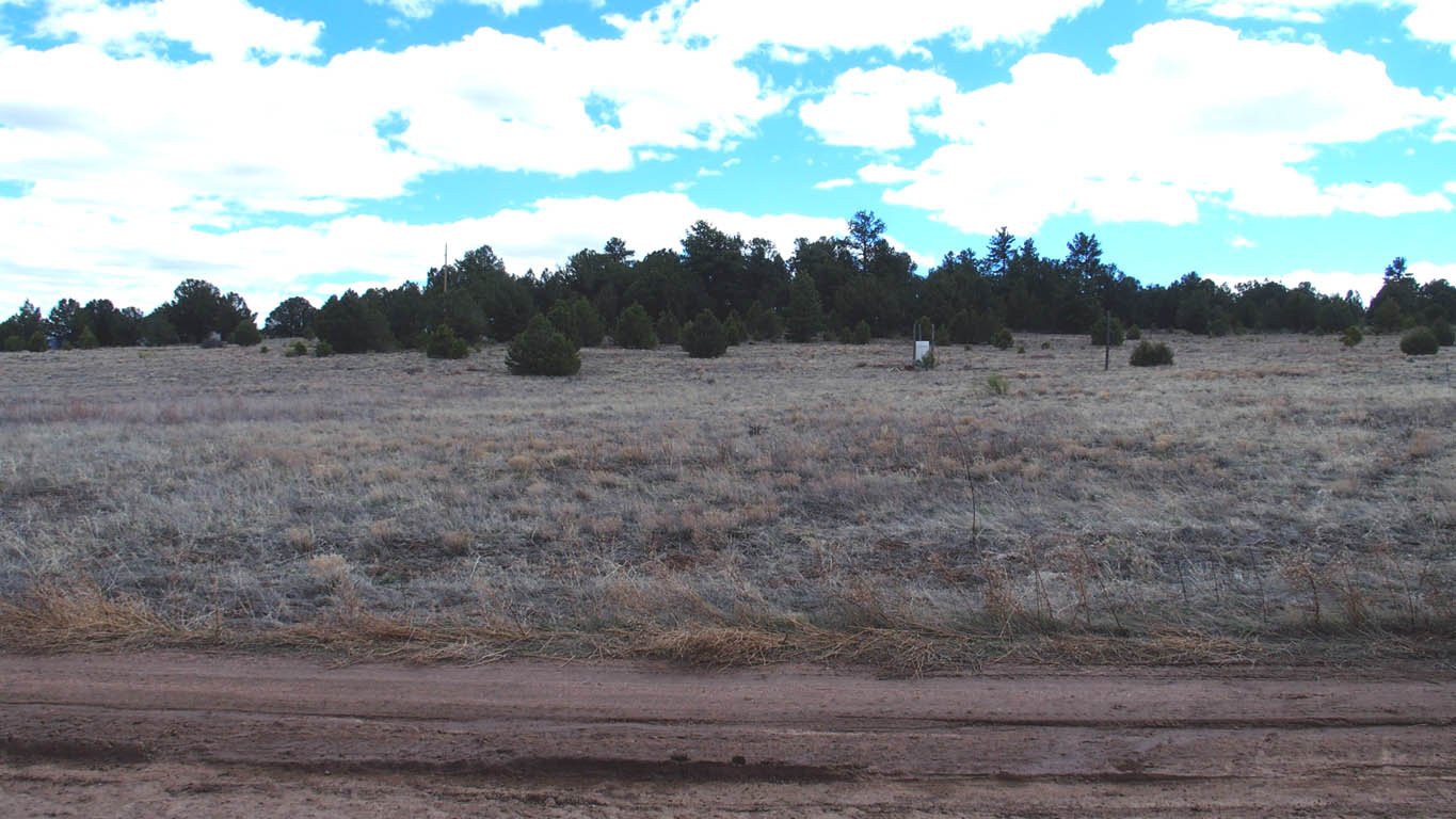
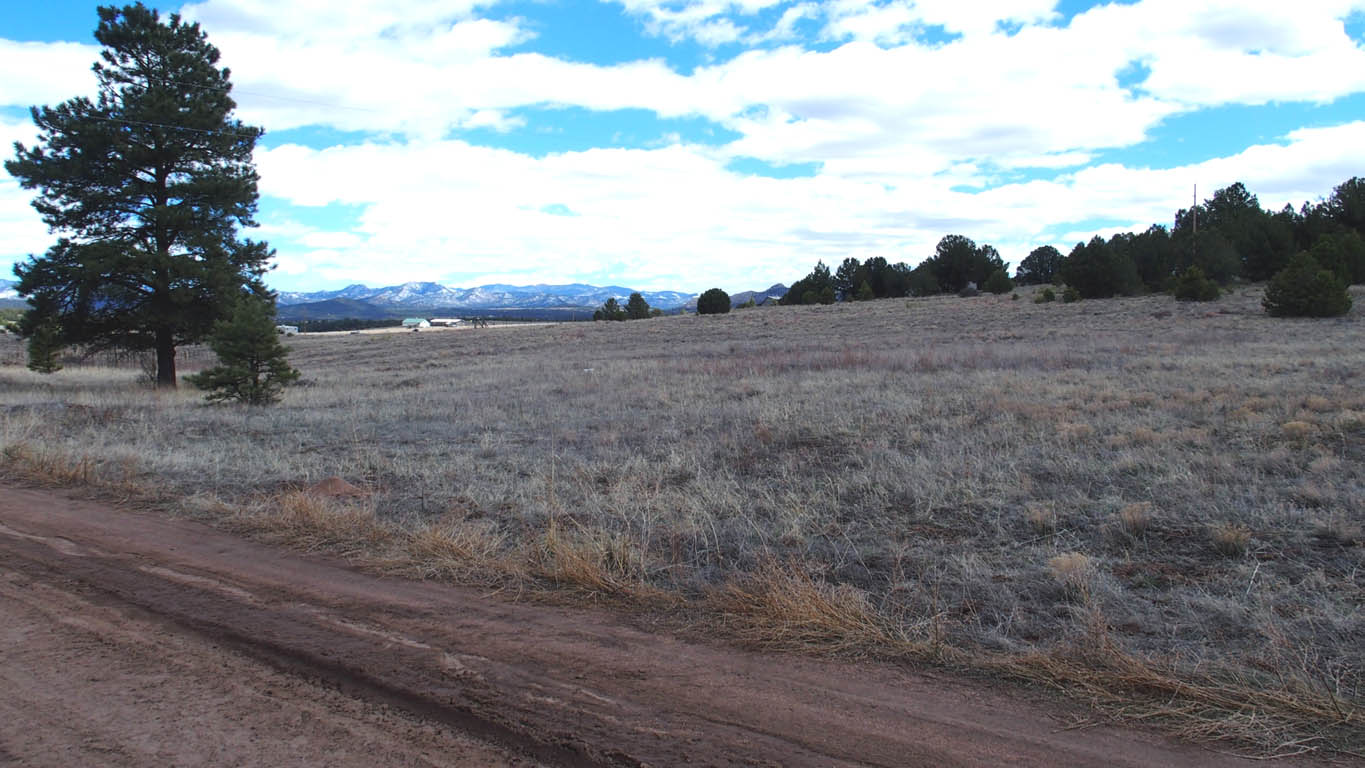
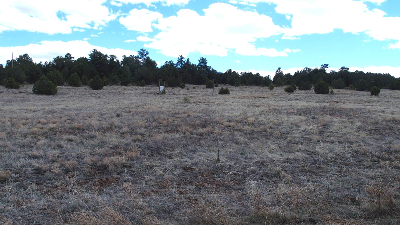
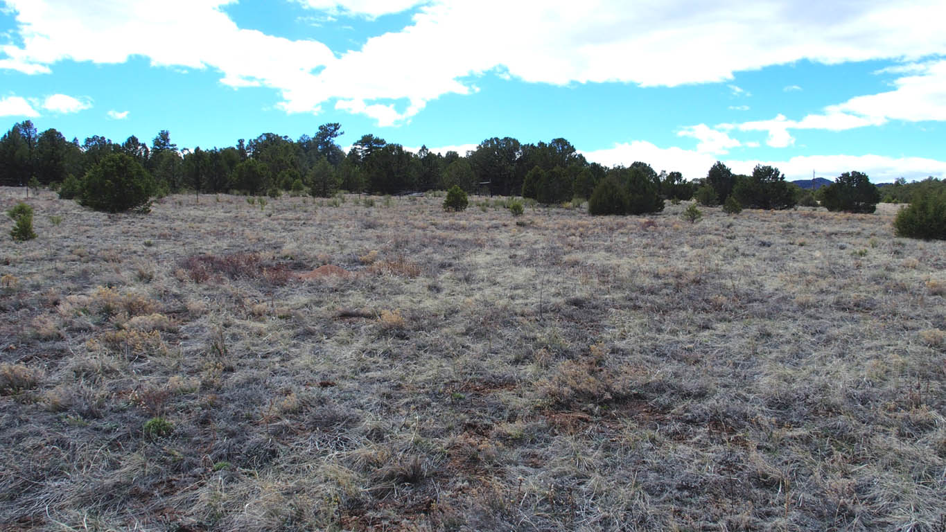
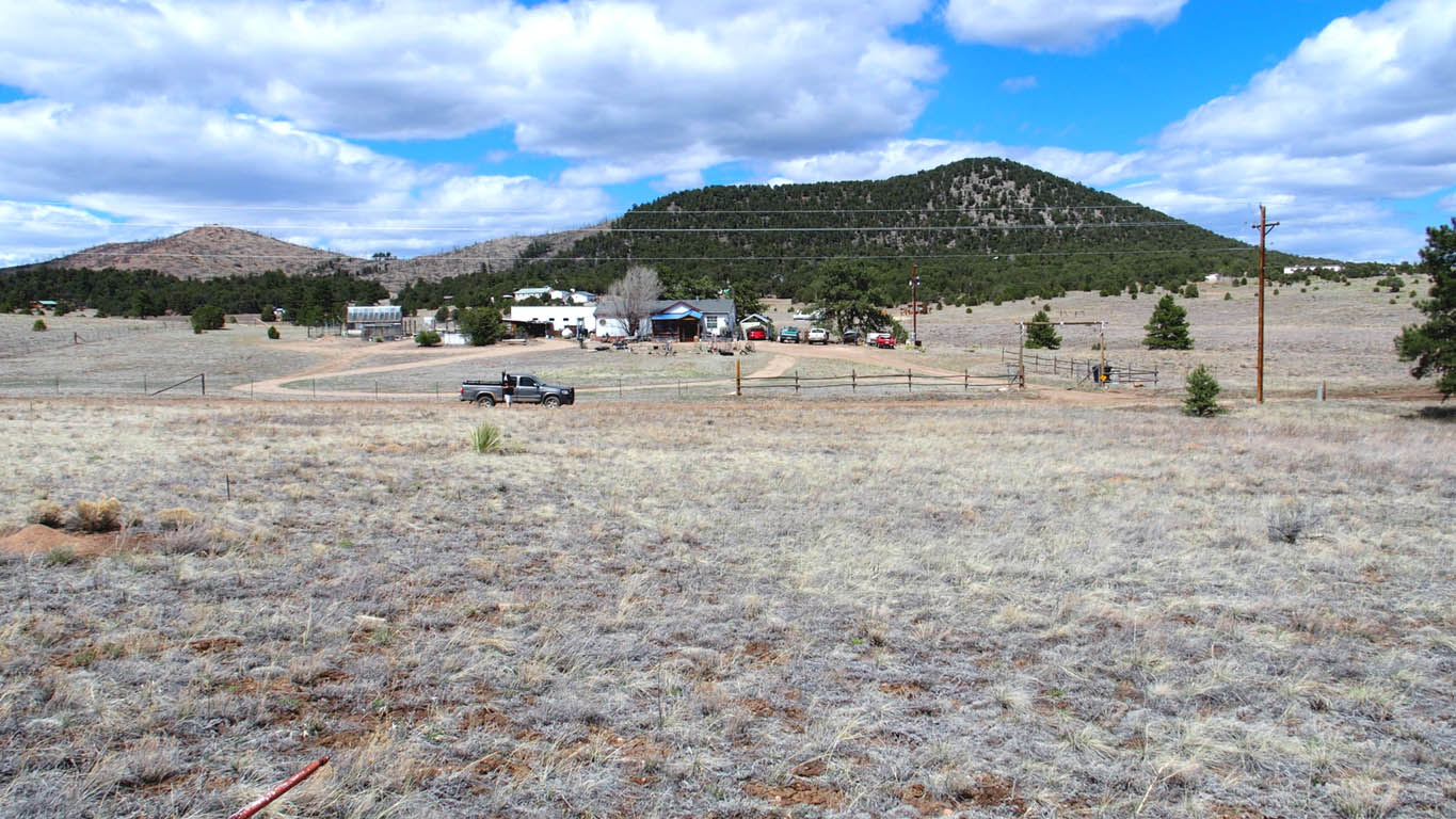
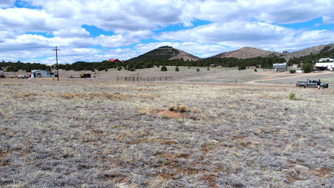
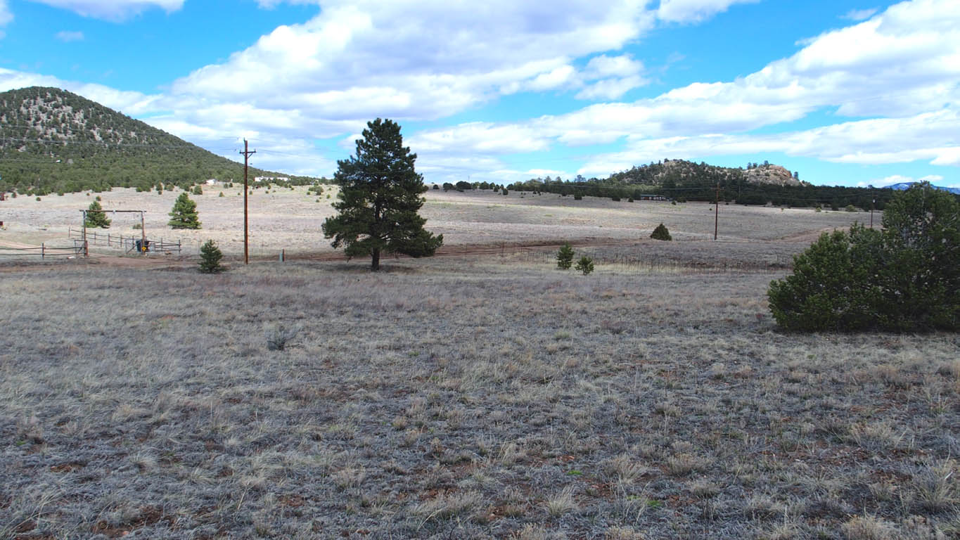
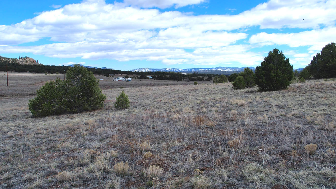
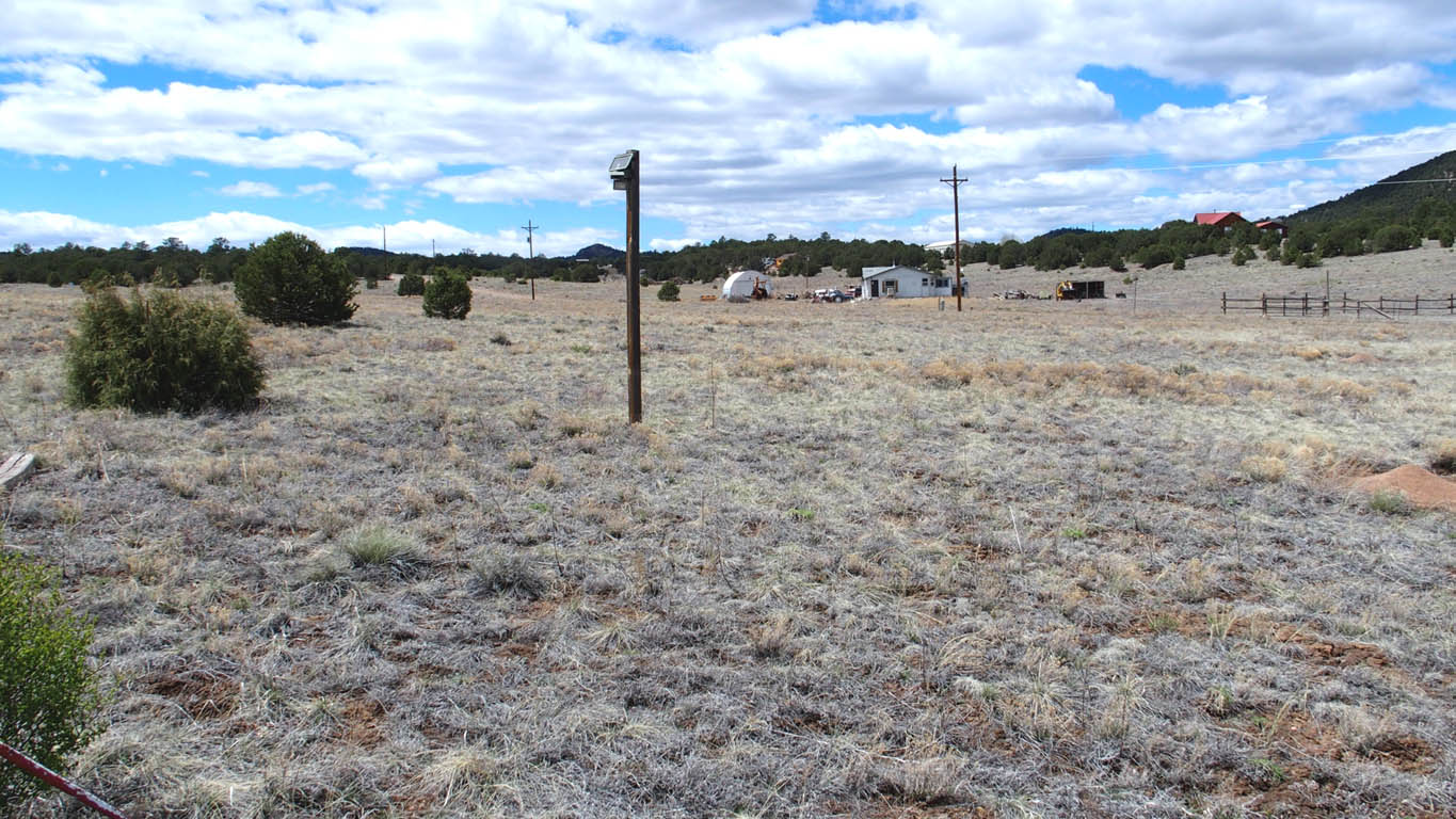
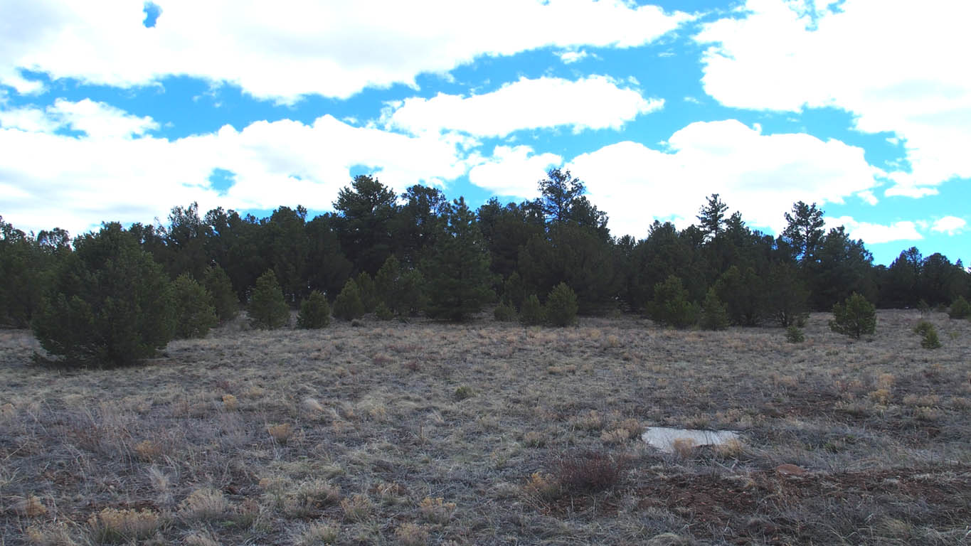
Actual Pictures, taken May 1, 2017 (Click on large picture below to enlarge more)


Lot Information:

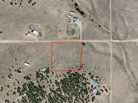
2.54 acres Total Lot Acreage
Very easy to build grassland with some trees
Mobile homes allowed,
Remote area,
Great views,
Electric at the property line,
Camping friendly community, Long term RVs noted on several properties,
NO POA/HOA,
Good road to lot,
Very level, very buildable, many great building sites,
Only 25 miles to Cotopaxi, CO and 31 miles to Canon City, CO,
Only $8,499 Cash Price, Financed price only $9,999*
* Owner financing please see note at bottom
Downloads and Plats
GPS coordinate: Latitude: 38.29172, Longitude: -105.49745 (West)
Directions: (Using "latitude longitude" We were able to use the Maps app on our iPhone to navigate to the property) - type in: 38.29172 -105.49745
From Canon City, CO:
If entering Canon City from the east on US-50
1. From 15th St continue on US-50/Royal Gorge Blvd, (11.8 mi)
2. Turn left onto CR-3, (2.6 mi)
3. At the Y, bear right onto Copper Gulch Rd, continue on Copper Gulch Rd (eventually becomes a dirt road). (14.5 mi)
4. Copper Gulch Rd comes to a T, take the right turn to continue on Copper Gulch (0.6 mi)
5. Turn right onto Q-Path. (0.2 mi)
6. Property is on the left. Property starts immediately across from the driveway to the house on the right and continues about 330 feet. Printing of this portion of the Google Map will be very helpful. Use of GPS coordinates is recommended to confirm location. GPS coordinate represents approximate location of center near the road
* For those persons opting to use owner financing, until the property is completely paid off and deed recorded, we do not allow building projects, living on the land, or storing of equipment, supplies, or vehicles. We do allow short-term camping. All county Rules and Regulations must be followed regarding camping and permitting. If you get our permission, you can put in a driveway and/or camping pad, with a permit from the county. There might be a few exceptions, such as keeping a fire-pit on the property which we can allow on an individual basis.