 DreamLand Properties, LLC
53 Plateau Dr, Florissant, Colorado with Good producing Artisian WATER WELL. We originally owned and sold this property in 2017. The buyer's plans to move to Colorado did not happen. We purchased property back in Summer 2019. The property quickly resold by land contract but Covid forced recent foreclosure.
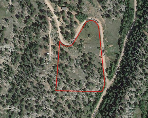
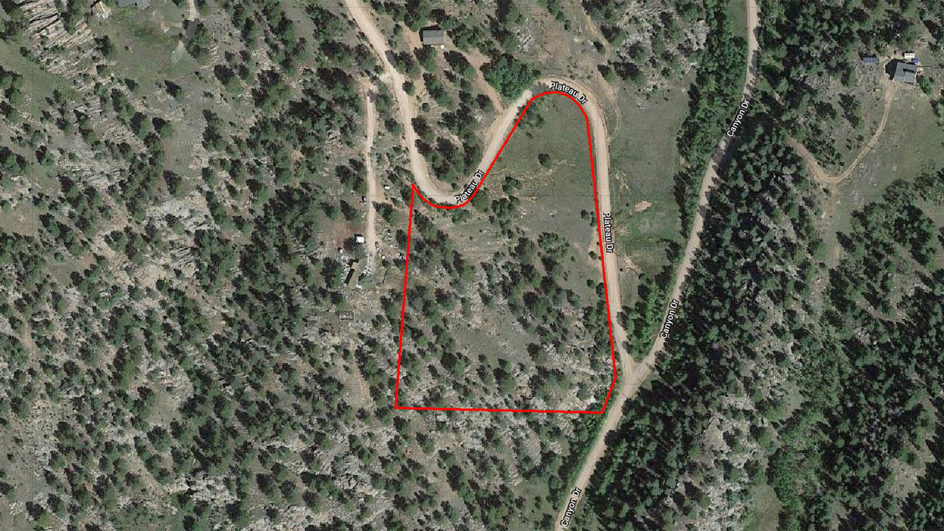
Legal Description: Lot 65, Park Ridge Ranch, Filing No. 4, Park County, Colorado.
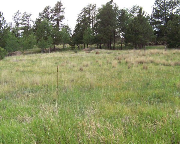
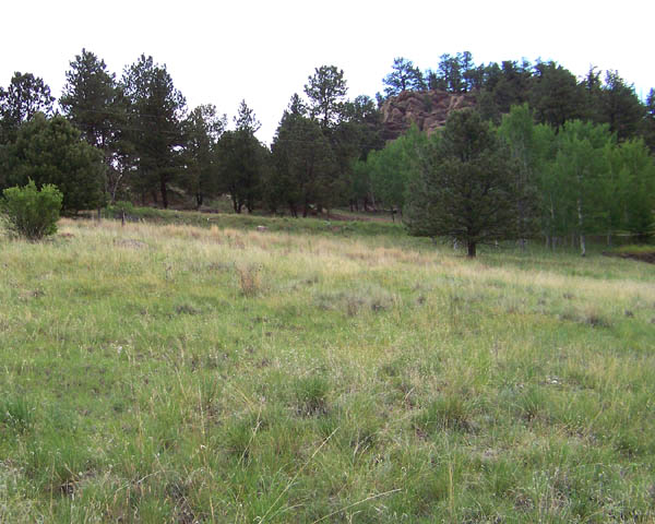
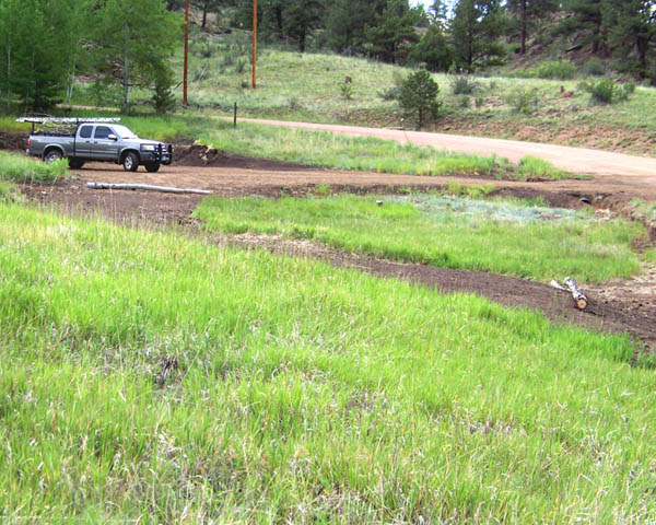
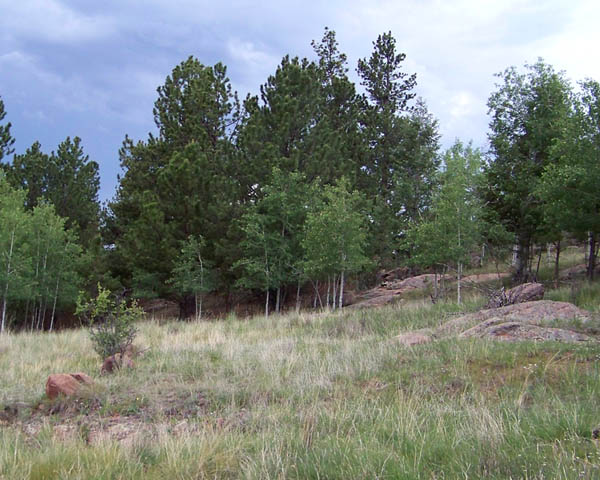
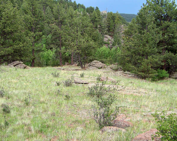
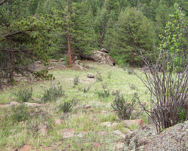
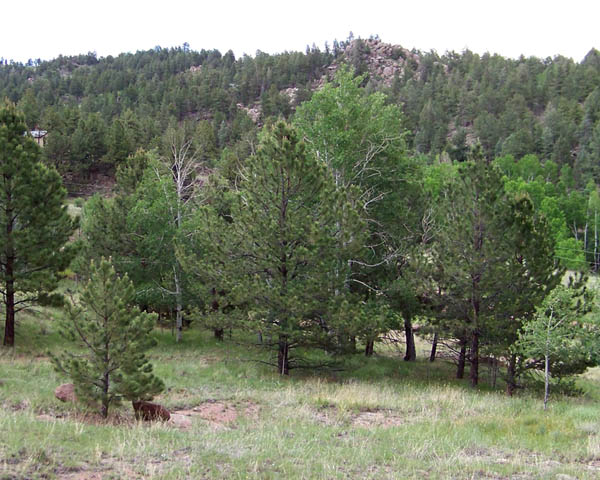
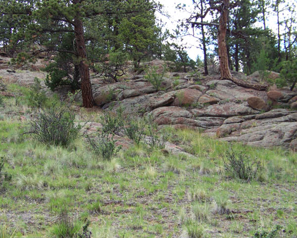
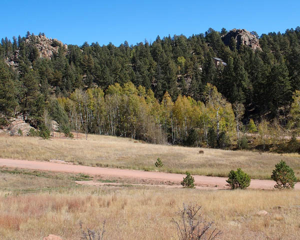
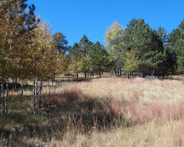
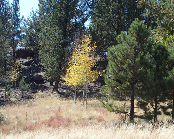
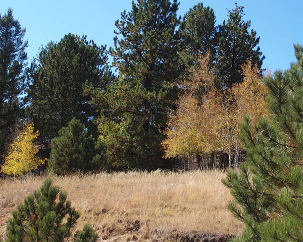
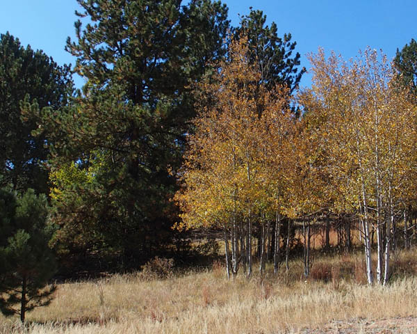
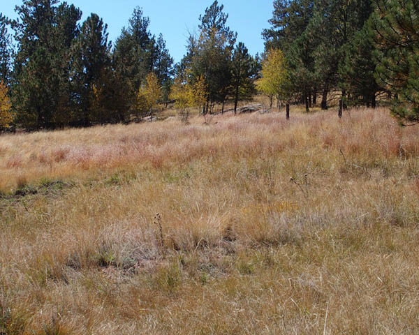
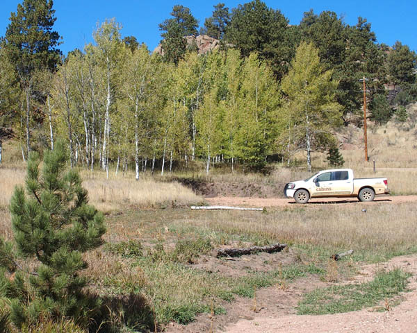
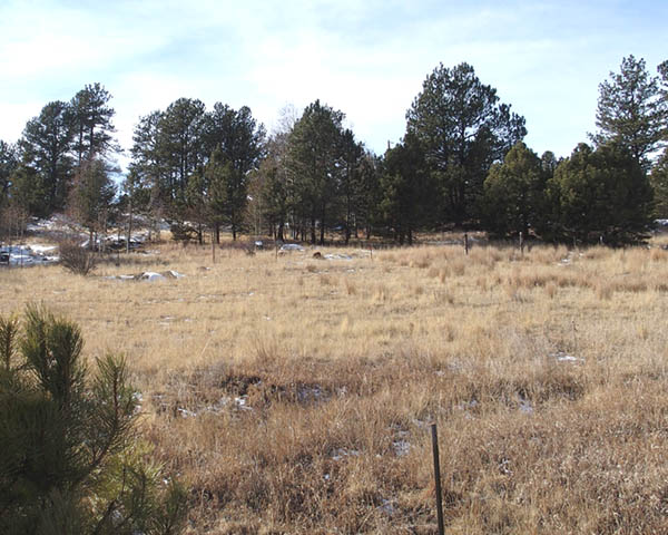
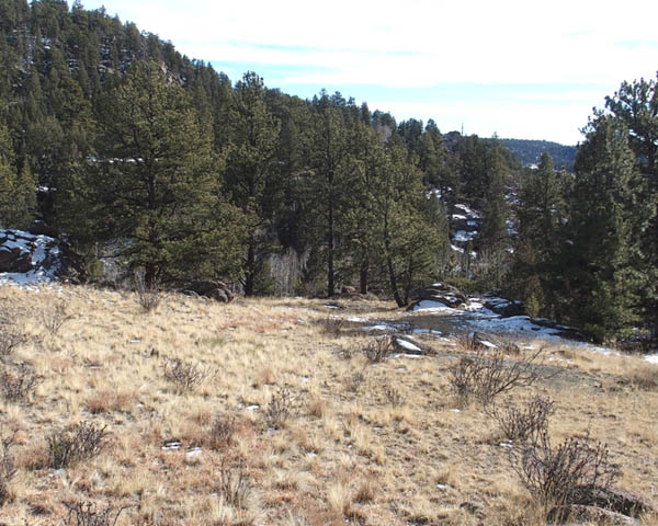
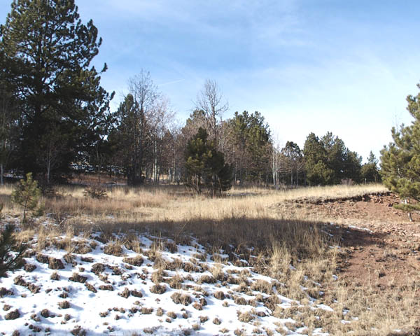
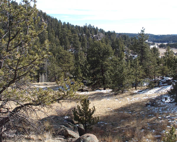
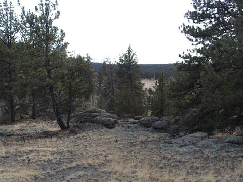
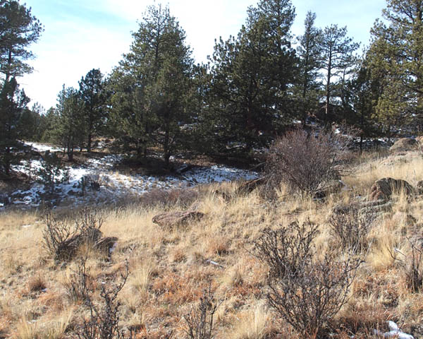
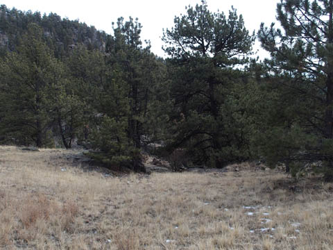
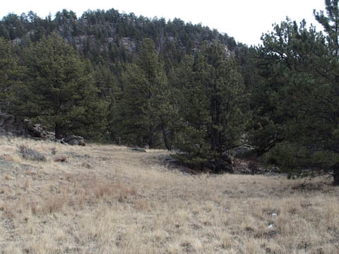
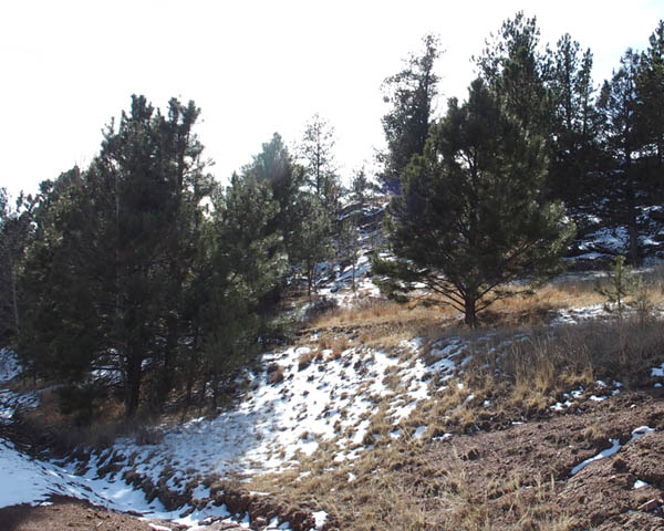
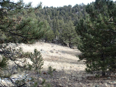
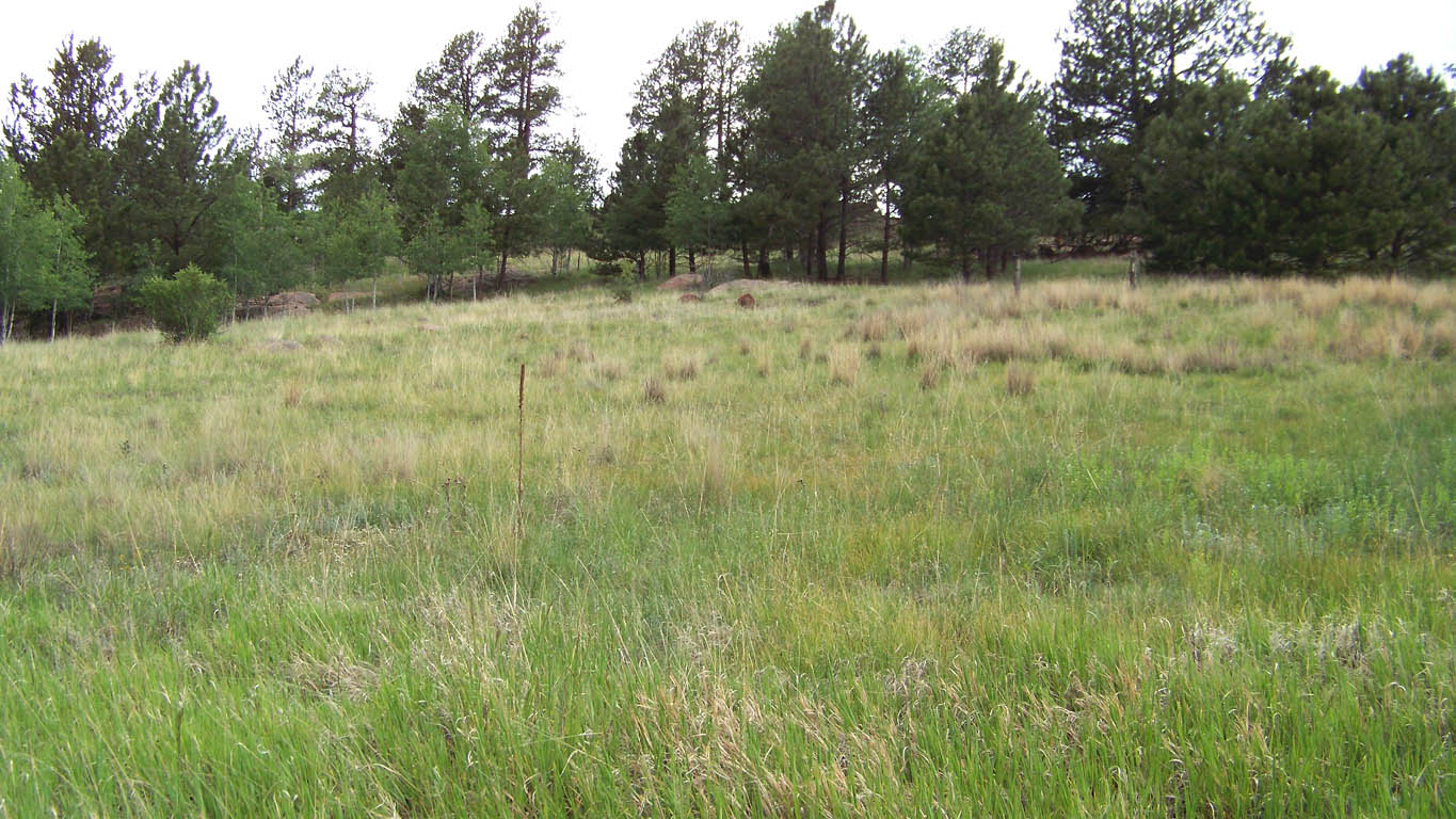
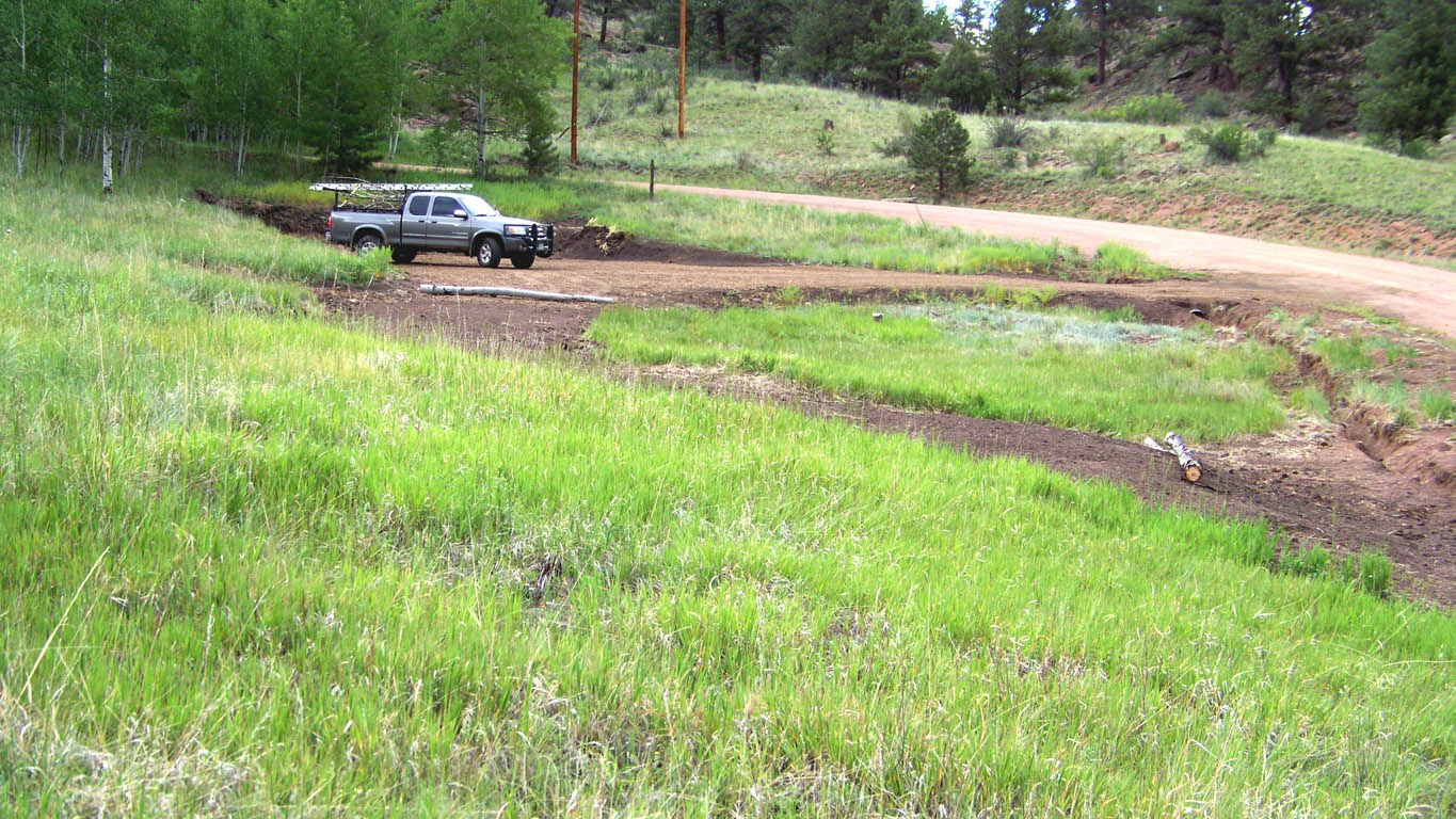
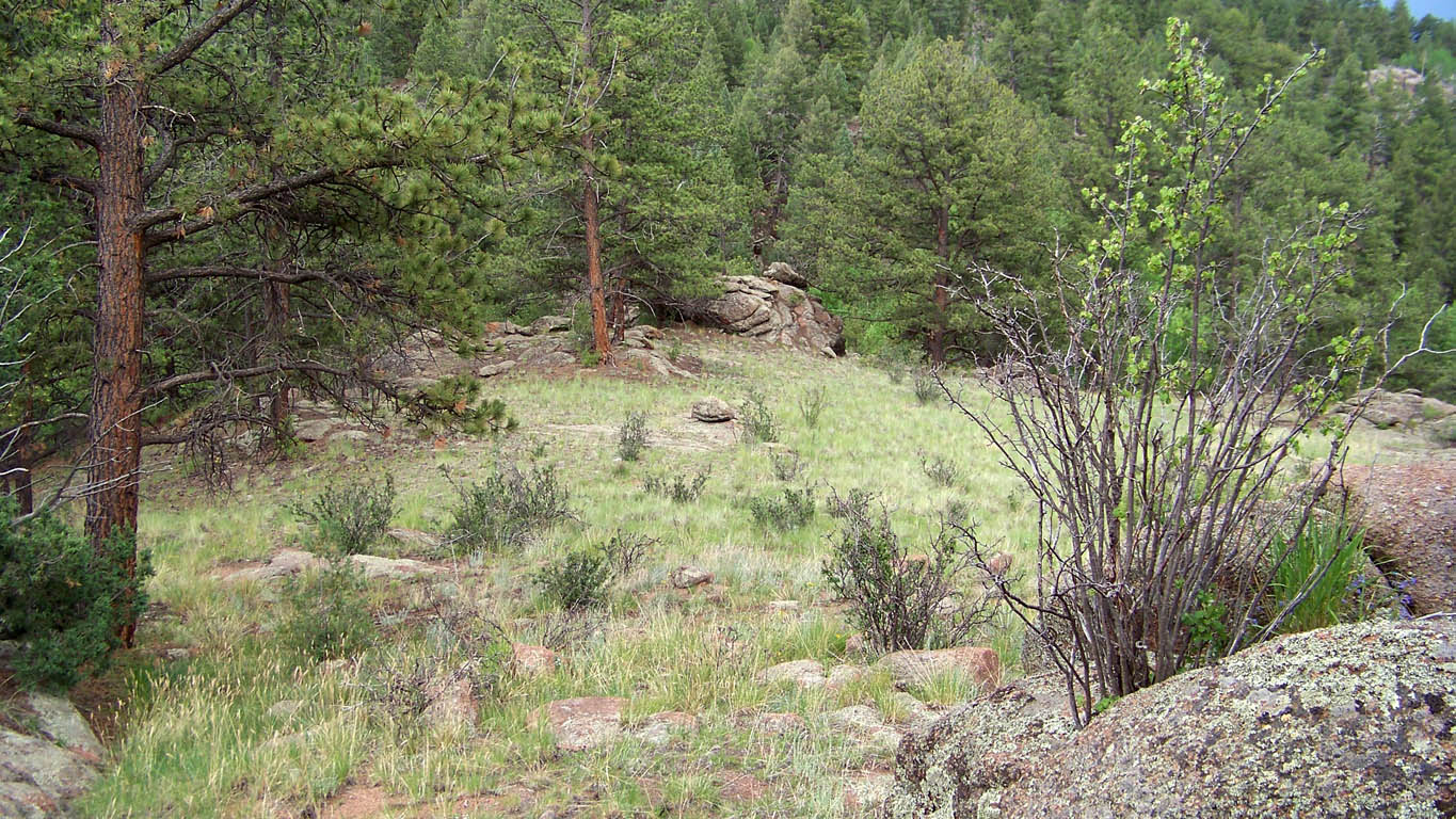
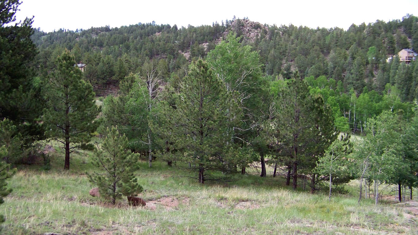
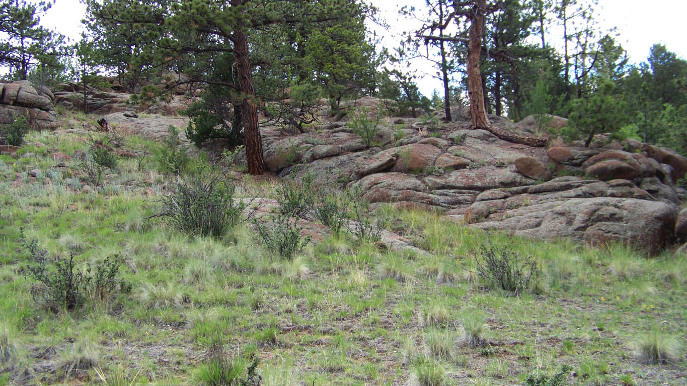
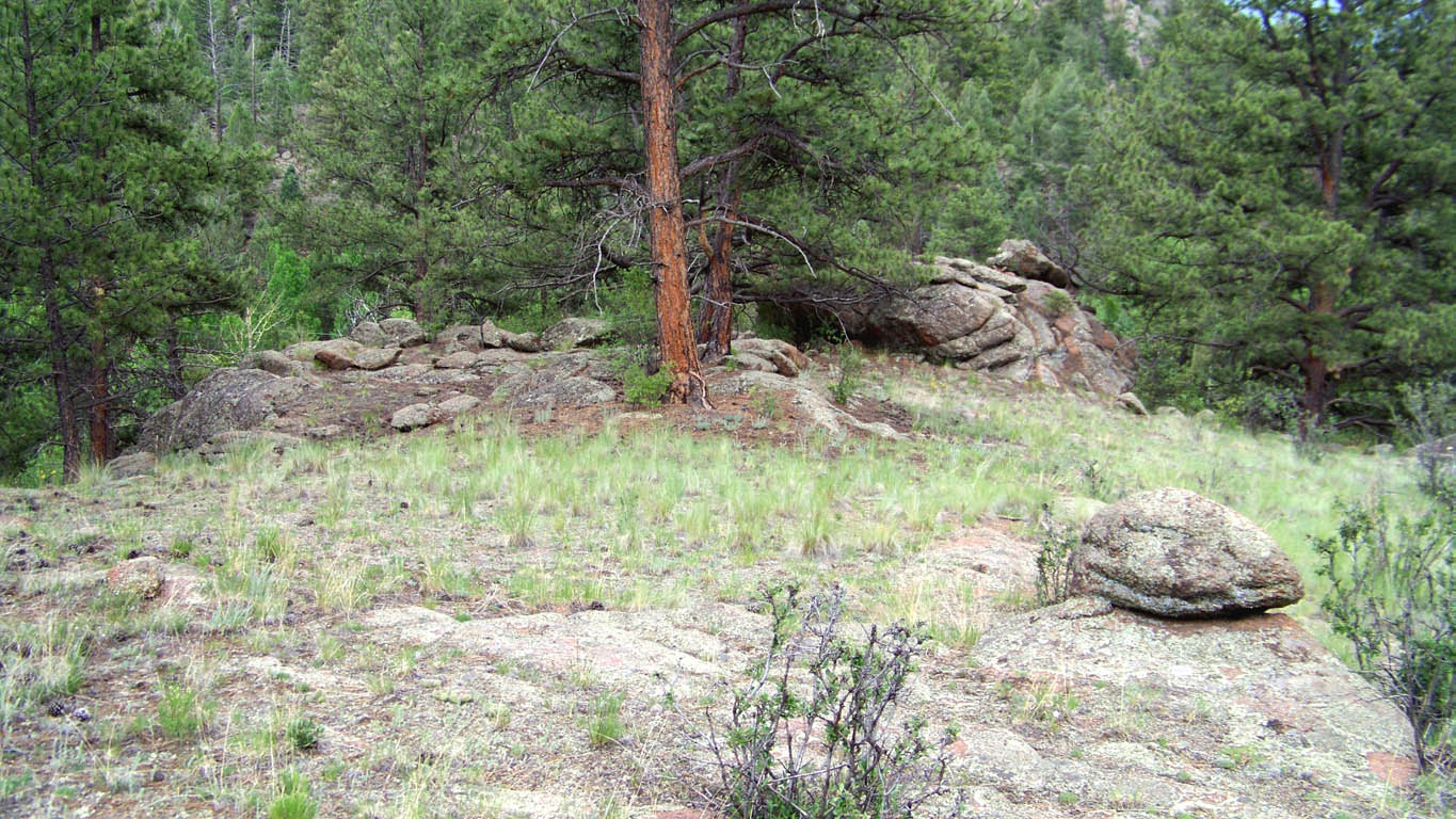
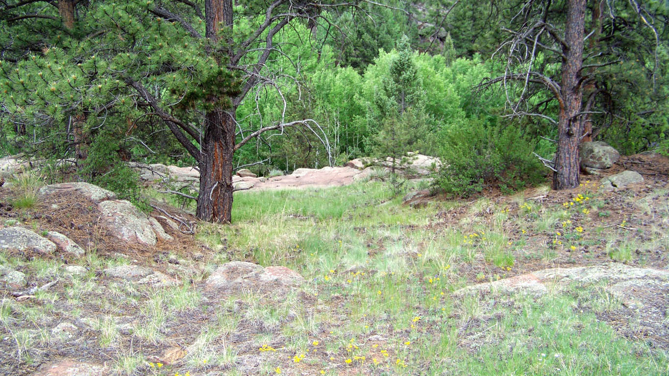
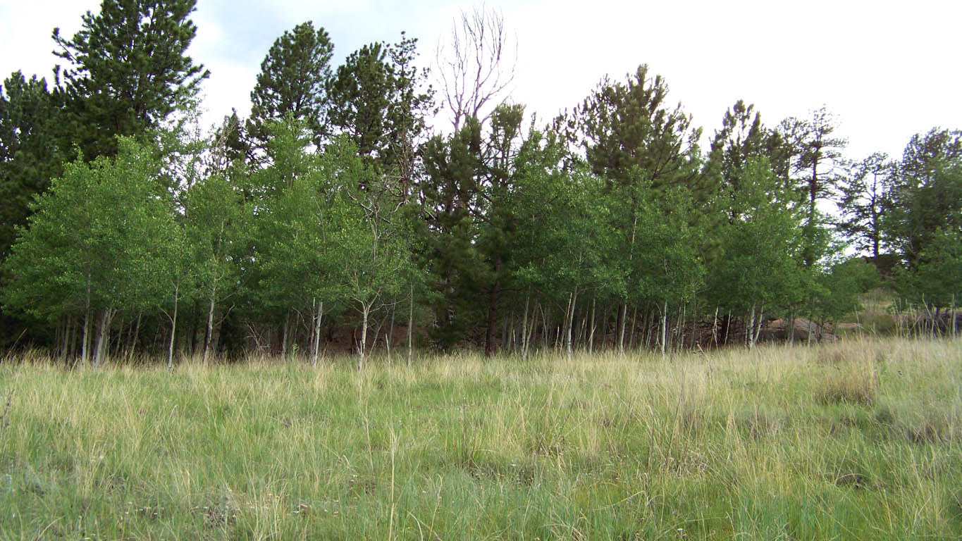
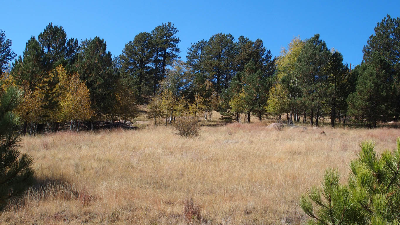
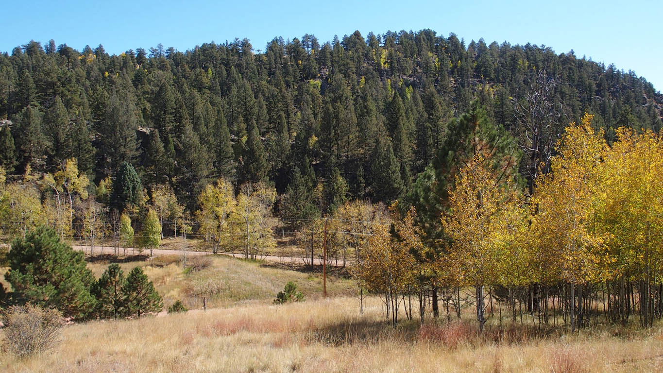
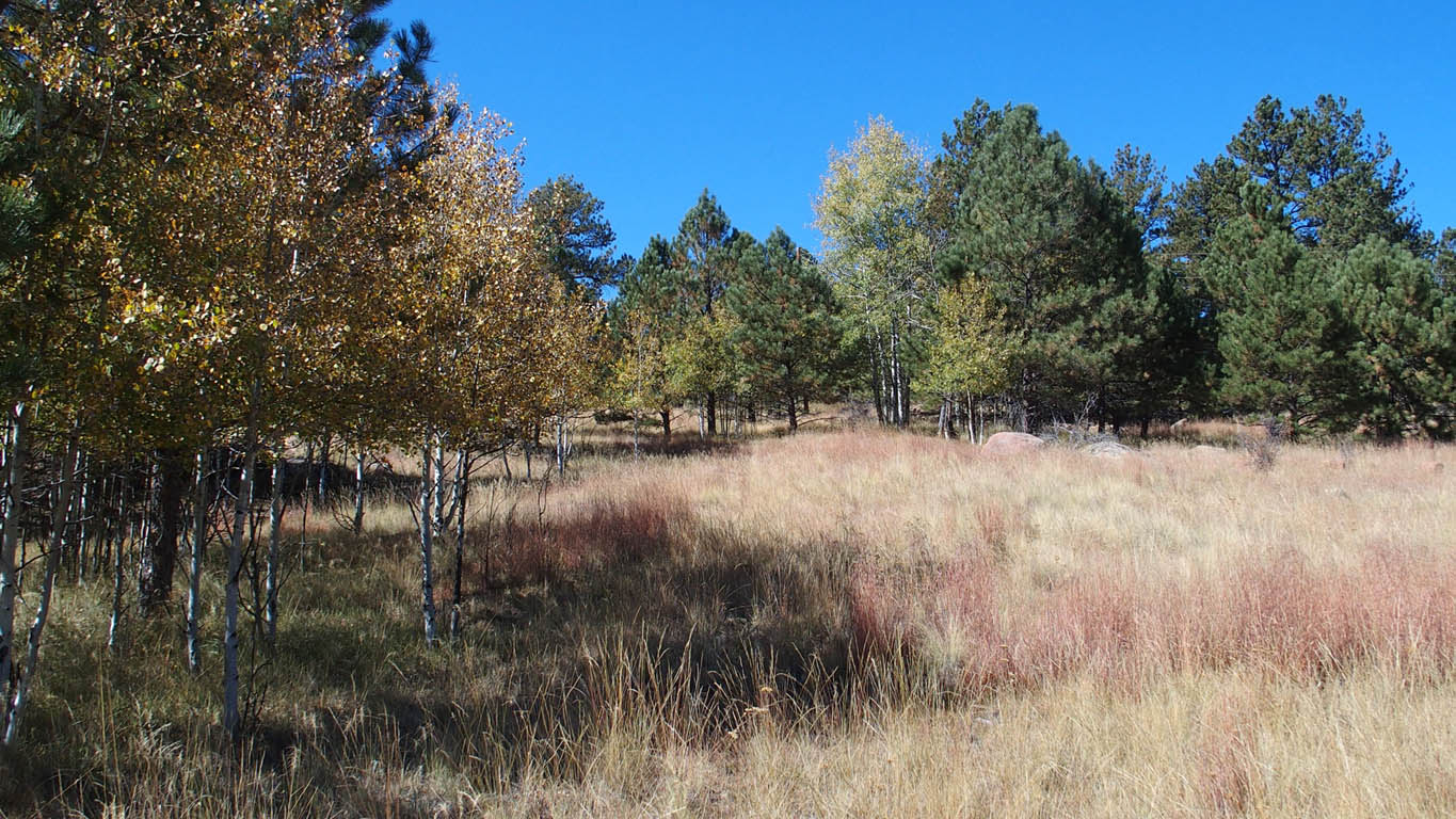
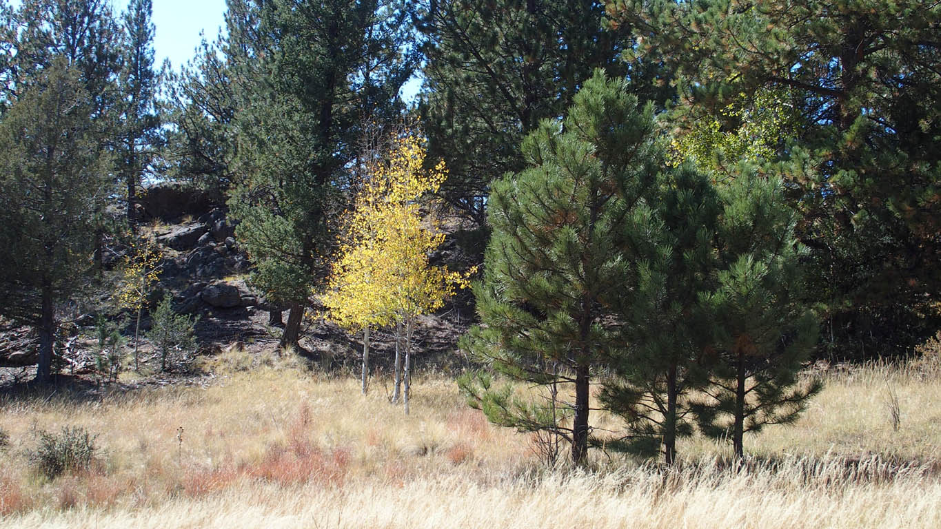
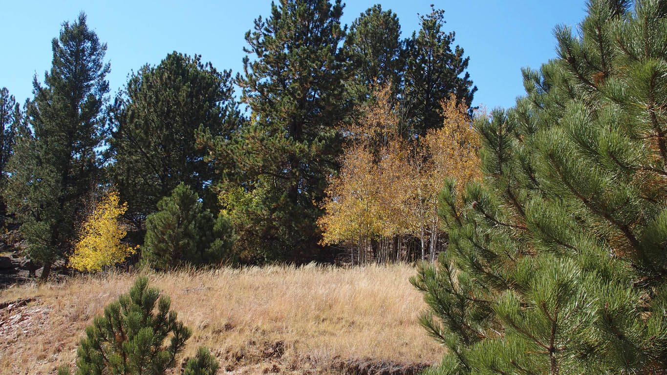
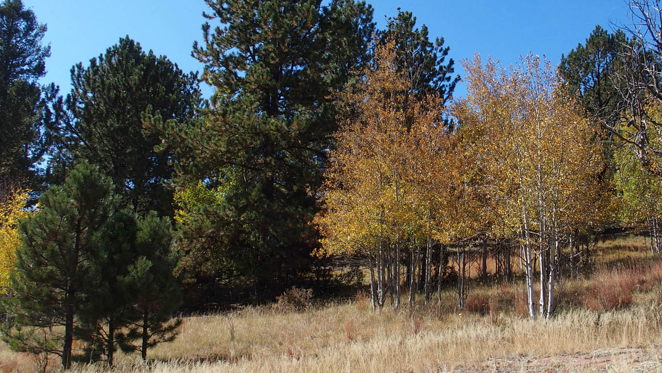
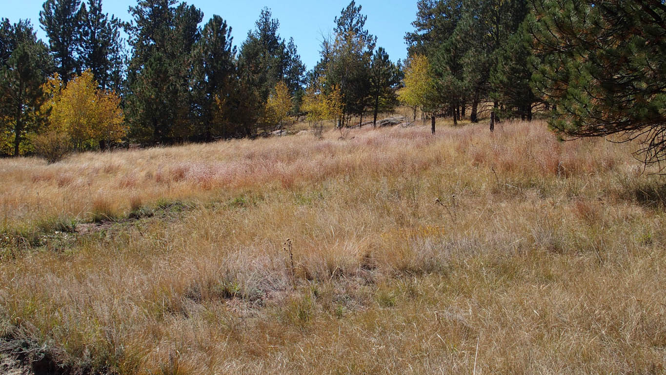
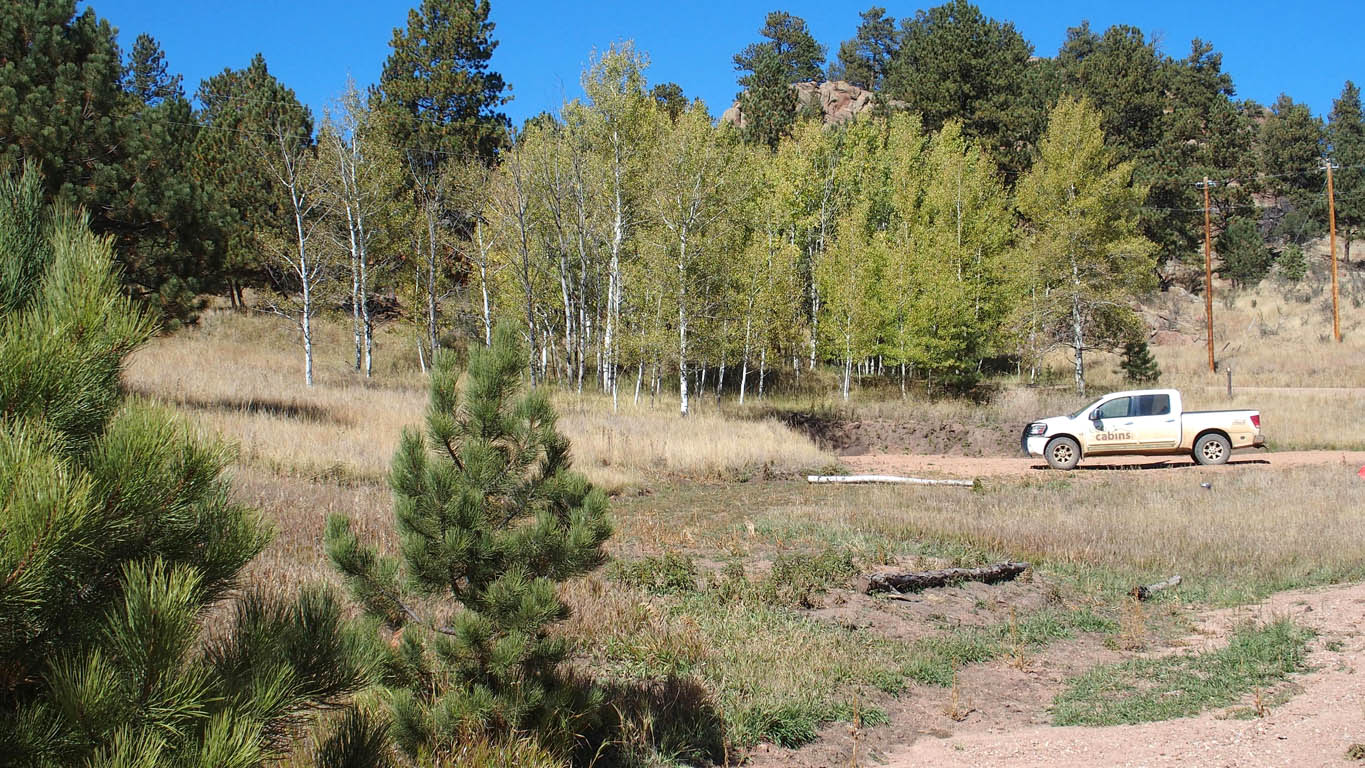
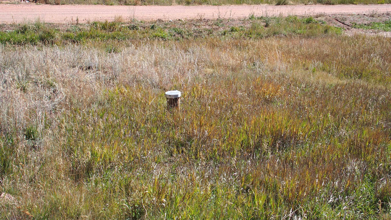
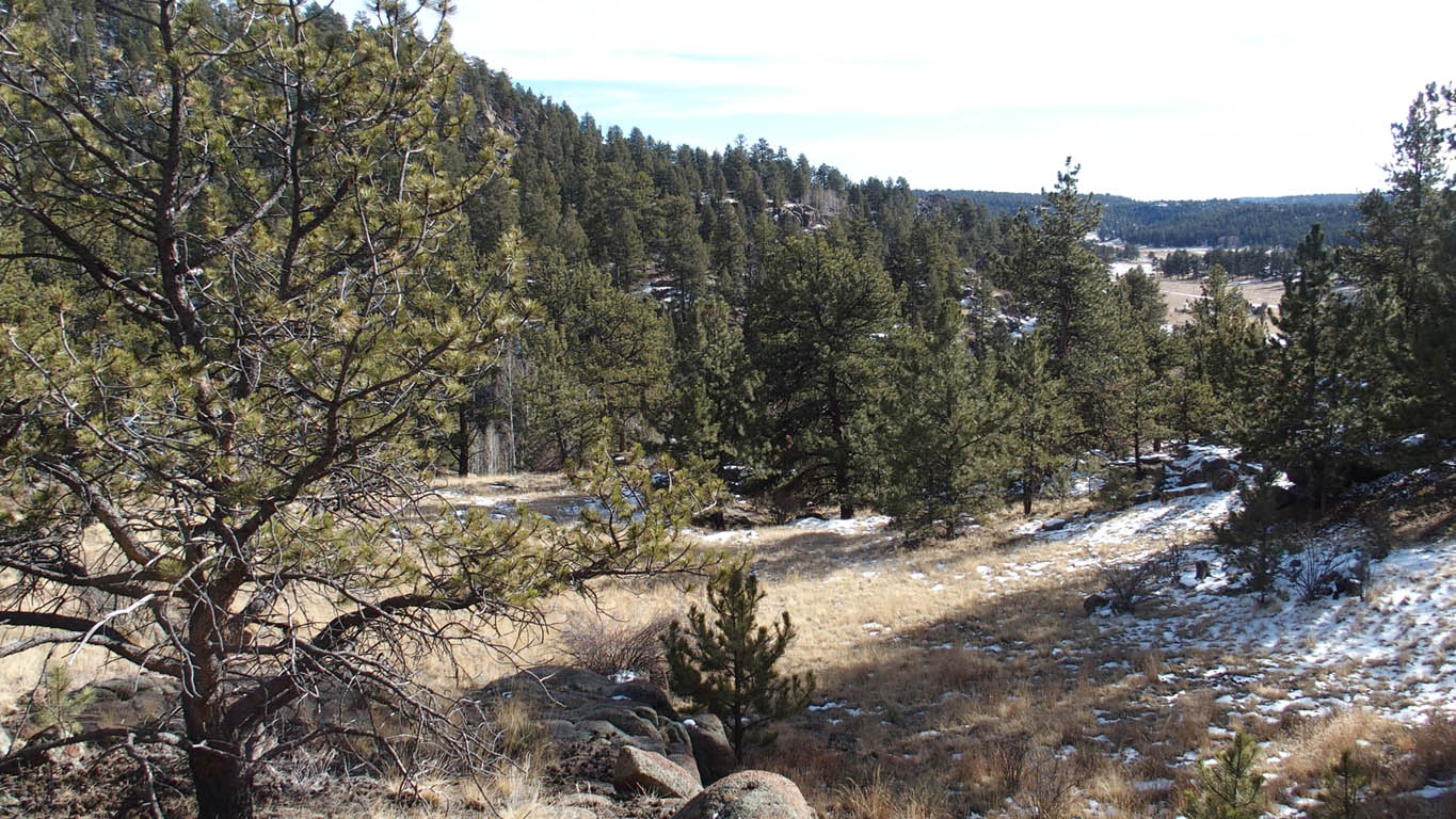
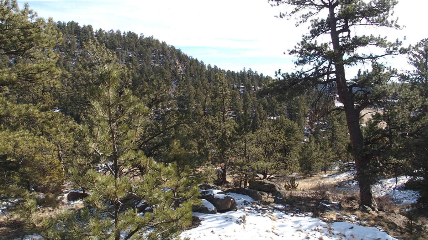
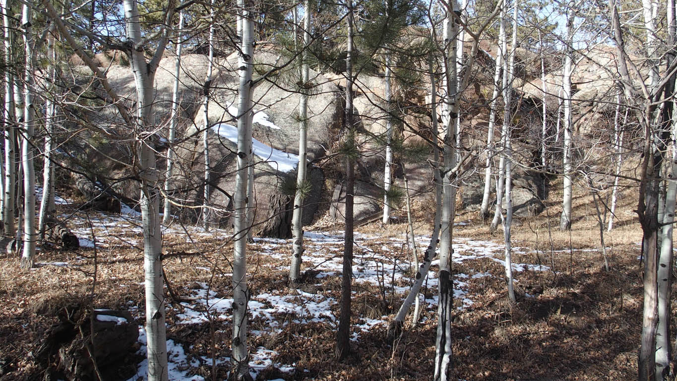
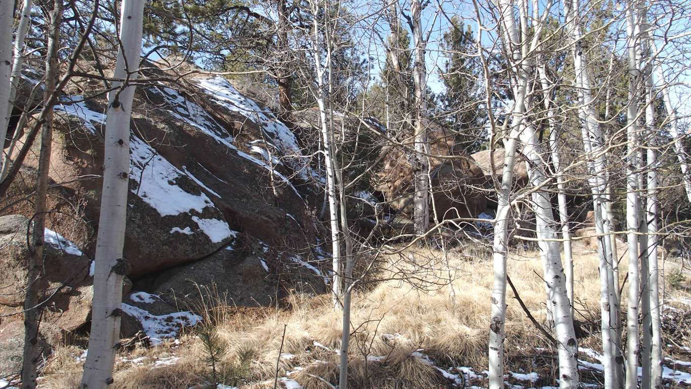
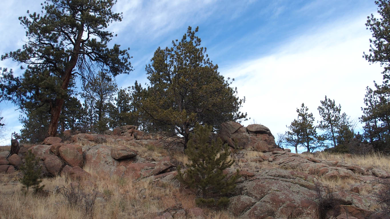
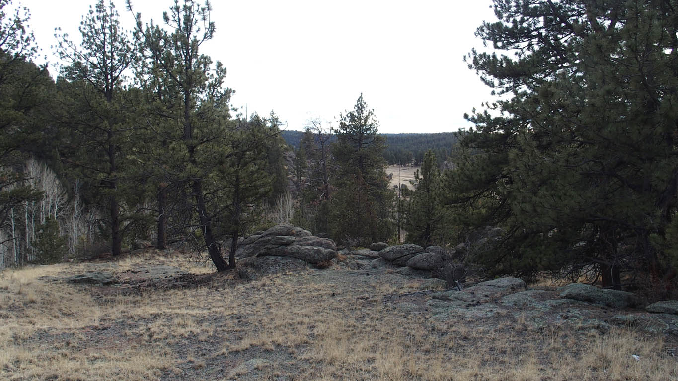
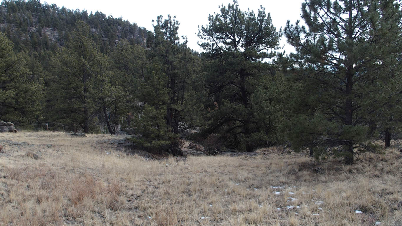
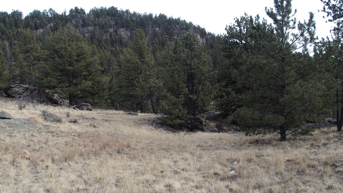
Actual Pictures, taken July 1, 2019, Oct 7, 2019 and Jan 6, 2018. New pictures show new RV pad and removal of fence stakes (Note: logs in pictures used to protect the newly seeded area - now established by autumn 2020).
(Click on large picture below to enlarge more)
Lot Information:

5.0 acres Total Lot Acreage
Good producing well, 3.5+ gal/min at 100 ft static depth.
Well water flows to surface (artisian)
At static depth of 0 ft, expect significantly higher gal/min.
(Neighbor's well, near SE corner, has documented 10 ft static, 8 gals/min)
Electric at the property line
Modular homes allowed,
Tiny homes allowed (Refer to IRC Section R304 for details, see Downloads)
RV drive and pad installed - please no driving on new grass
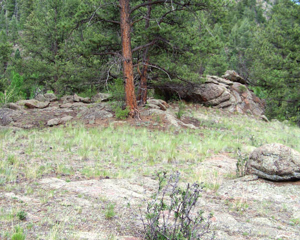
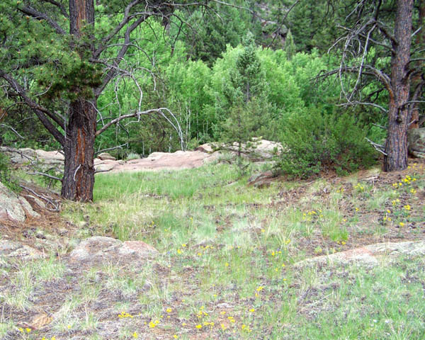
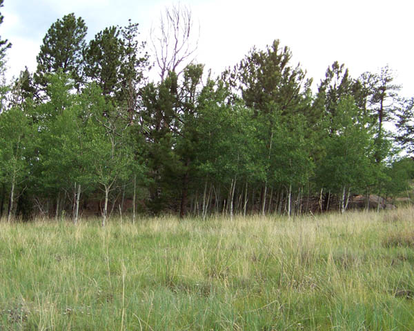
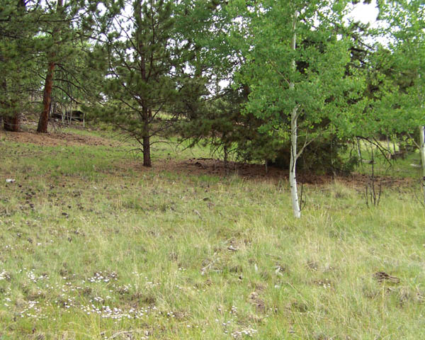
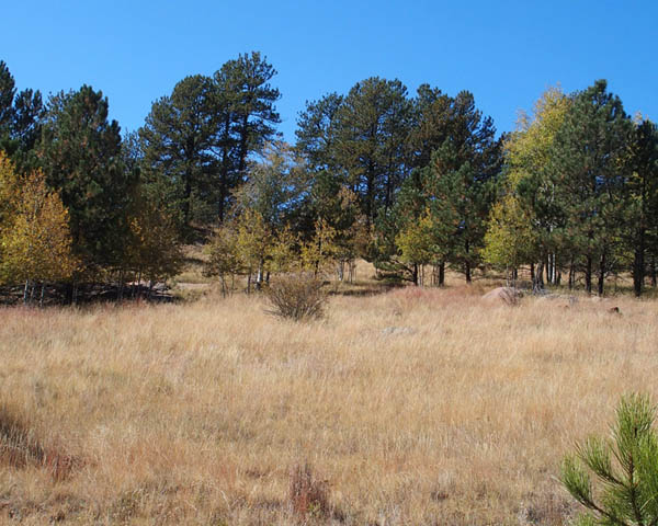
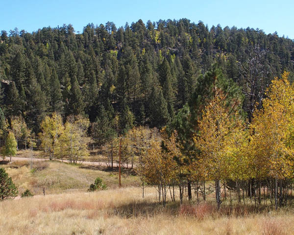
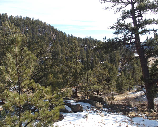
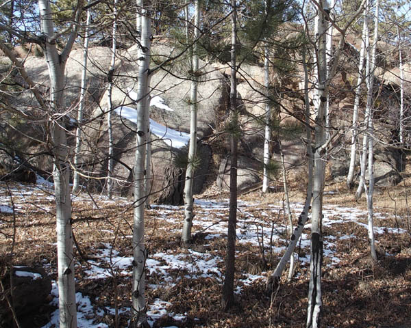
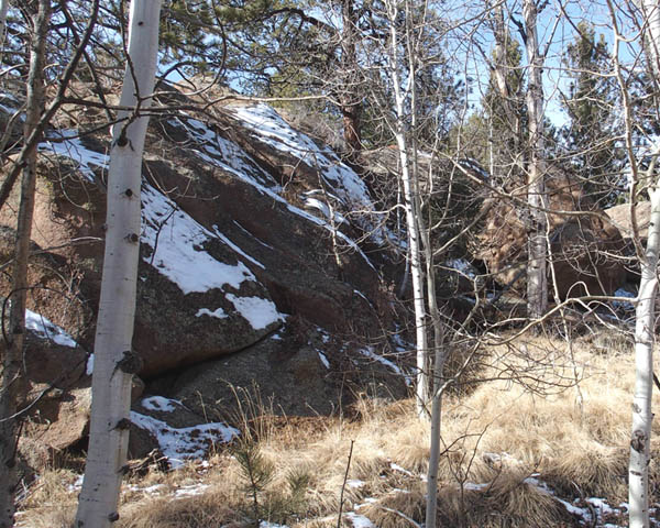
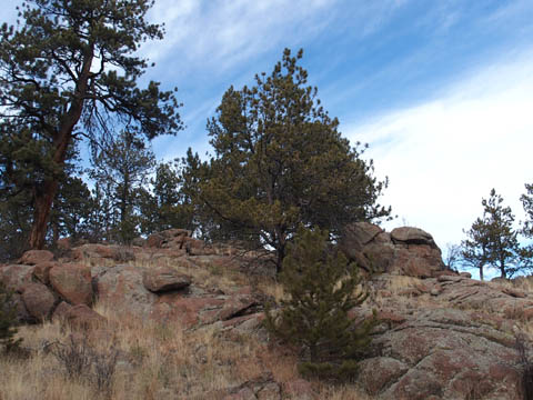
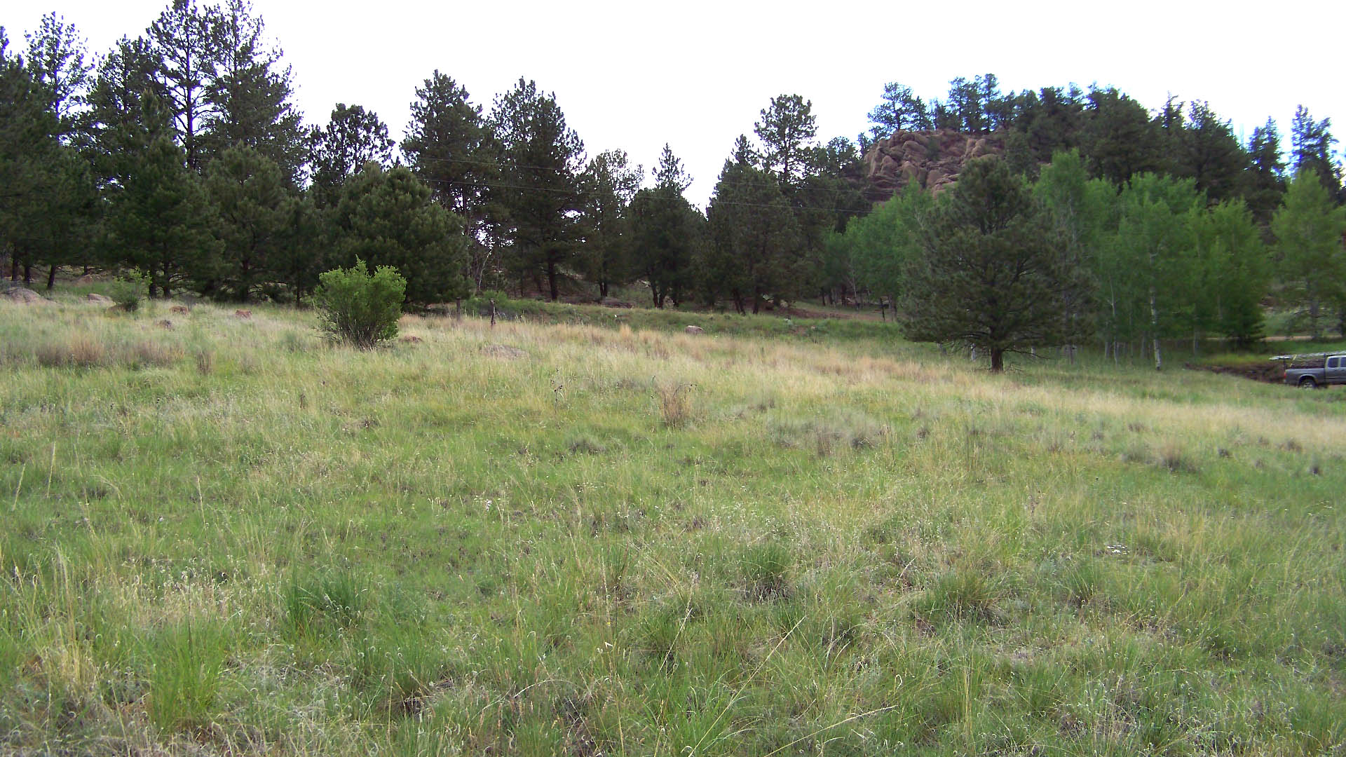
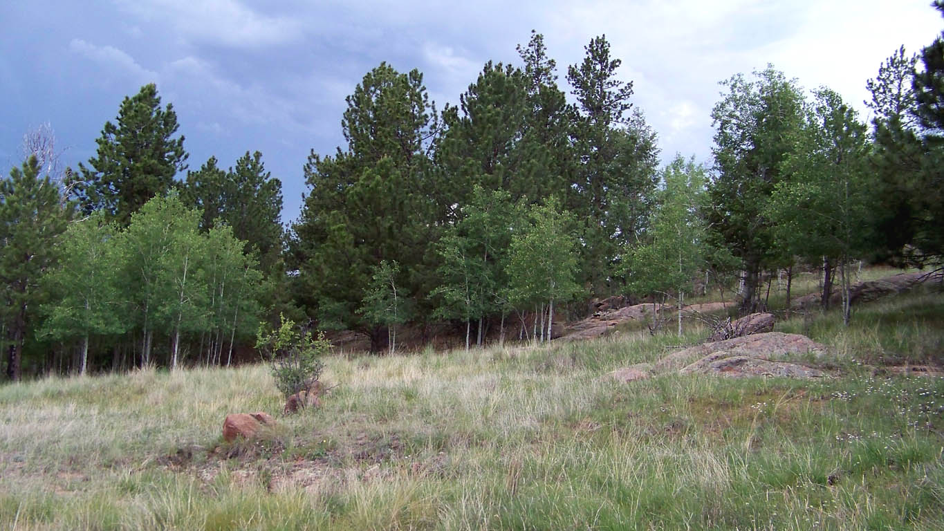
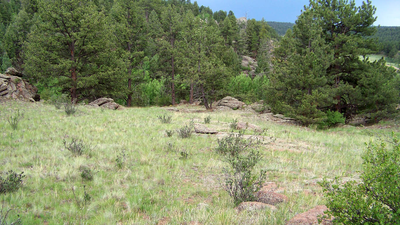
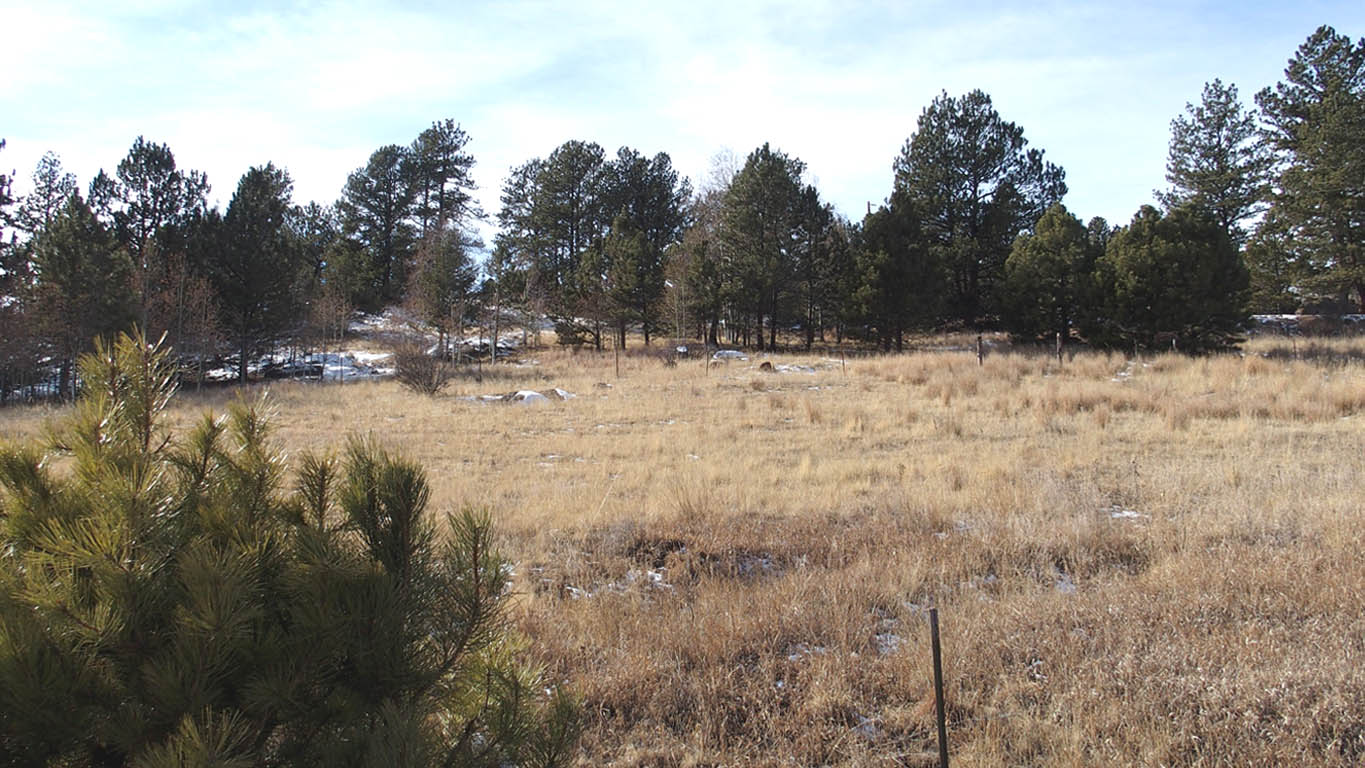
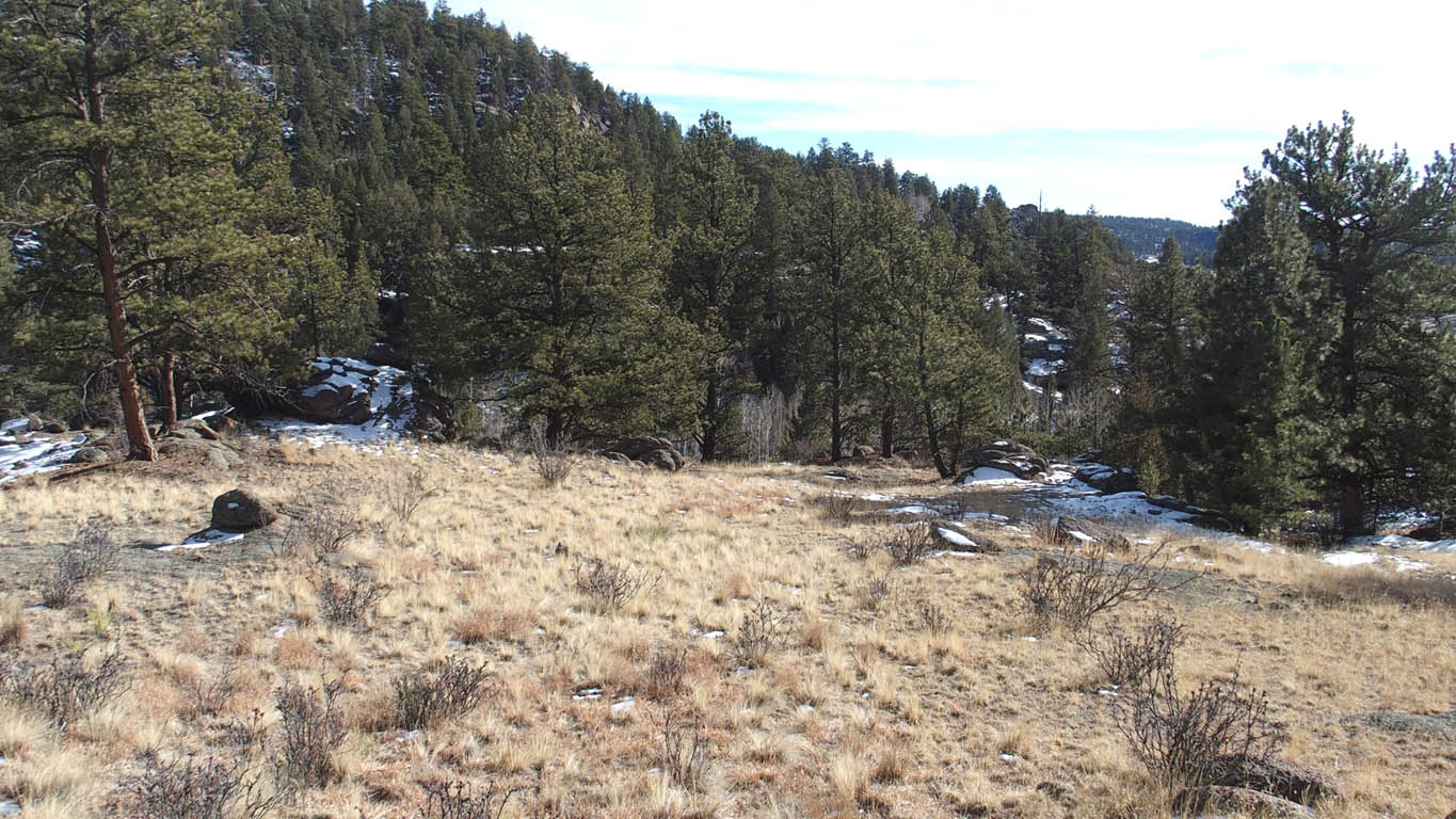
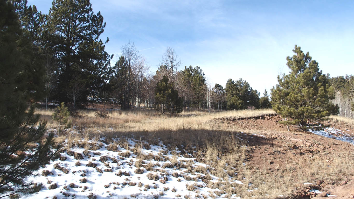
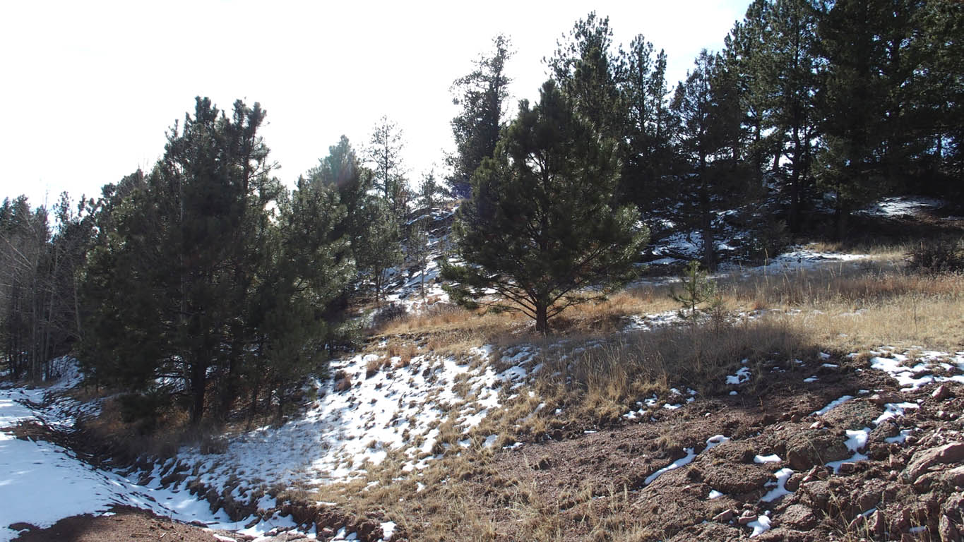
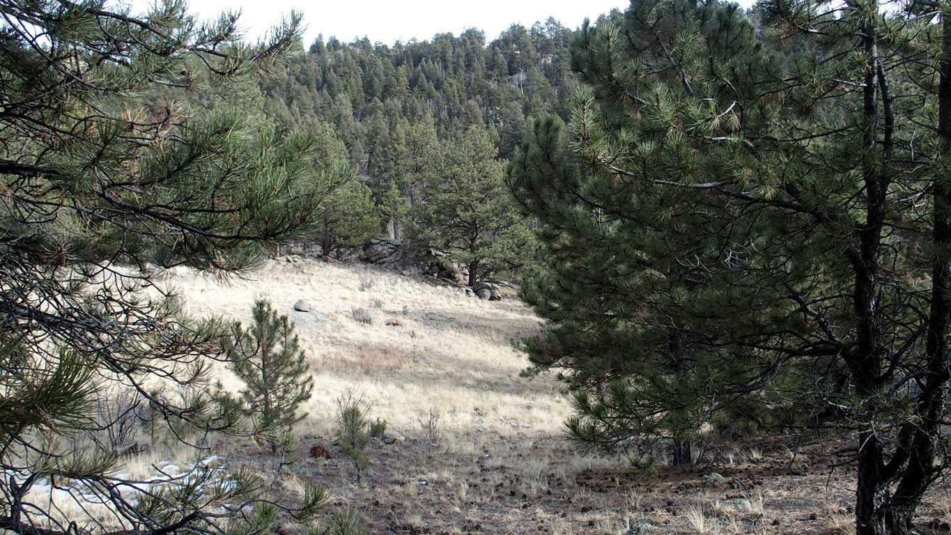
Beautiful diverse property,
Relatively level, 85+ percent usable
Great views,
Nice mix of Pines and Aspens
Large rock formations
Very level open meadow,
Many great building sites, one large area is open, another area very remote,
No POA/HOA,
Good road to lot, county maintained
Less than 10 miles to popular Paradise Cove Swimming Hole
Only 40 minutes to Woodland Park, CO and 1 hour to Colorado Springs, or Canon City,
Only $59,999 Cash Price, Financed price only $69,999*
* Owner financing please see note at bottom
Downloads and Plats
Property Plat Map
Well Information Documents
Tiny Home Document, Good summary - IRC Section R304
Tiny Homes allowed in Park County Document
Paradise Cove Swimming Hole Info
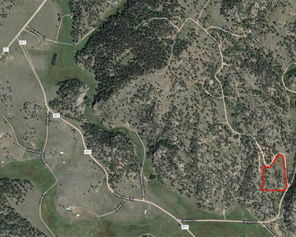
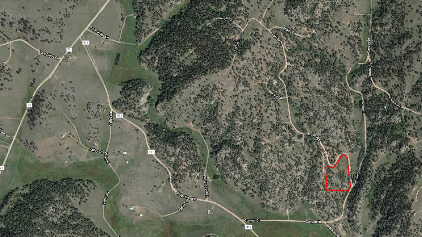
Directions: As with many rural properties, Smartphone navigation by address may not be reliable. Our smartphone Map app did not work on our first attempt to this property. Typing the address into our iPhone did not produce a good address to navigate to. Using "latitude & longitude" We were able to use the Maps app on our iPhone to navigate to the property) - type in: 38.843461 -105.341579
UPDATE: our smartphone worked great the second time we went to the property (using the "Plateau Circle" option).
From Woodland Park, CO:
1. Depart Woodland Park going west of US-24 (W Midland Ave) towards Florissant, (8.7 mi)
2. Shortly after passing through Divide, turn left onto CR-42, (5.8 mi)
3. At the end of CR-42, turn left on CR-1, (5.9 mi)
4. Turn right onto CR-11 (Obvious Y intersection), (4.0 mi)
5. Road name changes to CR-100 (1.7 mi)
6. Turn left onto CR-74, (0.7 mi)
7. Turn left onto Slater Creek Rd / CR-411, (0.9 mi)
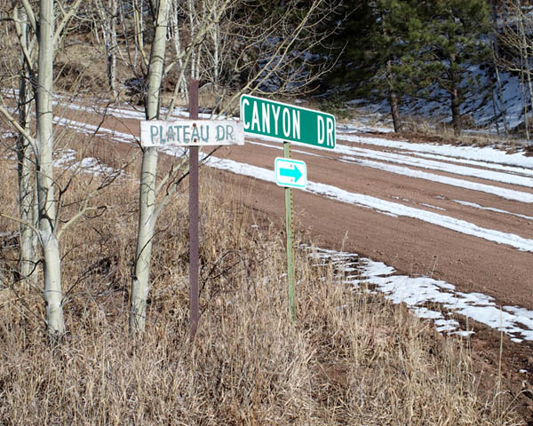
8. At the "Y" bear left onto Canyon St. (0.5 mi)
9. At the "y" bear left onto Plateau Dr.
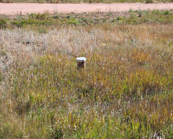
10. Property is on the left, starting along Canyon St. shortly before Plateau Dr., than along Plateau Dr, around the first bend, all the way to the next bend to a point slightly beyond the telephone box (and electric pole). Printing of the pictured Plat Overlay and or this portion of the Google Map will be very helpful. Use of GPS coordinates is recommended to confirm location. GPS coordinate represents approximate location of a spot near center of the property. We have placed ORANGE stakes at approximate corners.
* For those persons opting to use owner financing, until the property is completely paid off and deed recorded, we do not allow building projects, living on the land, or storing of equipment, supplies, or vehicles. We do allow short-term camping. All county Rules and Regulations must be followed regarding camping and permitting. If you get our permission, you can put in a driveway and/or camping pad, with a permit from the county.